Governador Nobre de Carvalho Bridge: Macau’s Historic Crossing
This slender bridge links Macau and Taipa, offering a useful public-transport route and broad views across the Pearl River area.
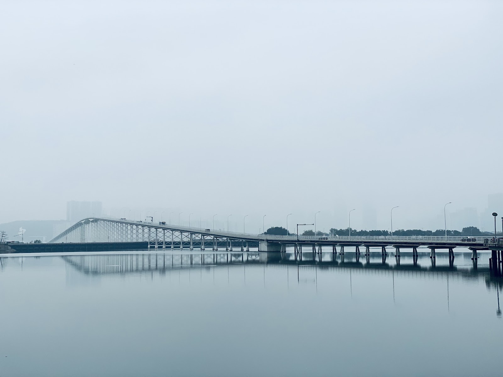
More photos
Photos published by travelers on Google, not AI generated.
What stands out
- Almost three-kilometre crossing
- Panoramic views of Macau and Taipa
- Views towards Hengqin China
- Slender arched bridge profile
- Useful public-transport connection
Worth knowing
- Mainly a transport route
- Walking access may vary
- A toll may apply
Don't miss
What comes up most in public reviews
- Cross by public bus
- Take a taxi across
- Look towards Macau, Taipa and Hengqin China
- Pause for the Pearl River views
Worth the trip?
Why visit
Governador Nobre de Carvalho Bridge is one of Macau’s defining crossings. Public reviews describe it as the middle bridge between the Macau Peninsula and Taipa, built across the narrowest point between the two islands. Its long, slender profile gives it a distinctive presence, especially when seen from the water or from nearby roads.
The bridge is close to three kilometres long. It was built between 1970 and 1974, according to one detailed review, and helped speed Taipa’s later development. Its steep arch was shaped by practical constraints, allowing ships to pass while keeping construction costs under control. That engineering story gives the crossing more interest than its transport role might suggest.
What the reviews show
Google users give the attraction 4.5 from 94 reviews. The strongest pattern is usefulness. Travellers report crossing by bus and taxi, with the bridge saving time when moving between Macau and Taipa. Public transport is its main function, and visitors should treat it as an active transport route rather than a conventional sightseeing promenade.
The views are the other clear draw. Reviewers mention panoramas of Macau, Taipa and Hengqin China, along with fresh air and views across the Pearl River. One visitor ran across the bridge, while another took around half an hour and stopped several times to look out. Those accounts suggest that the experience can be brief when travelling through, or slower when conditions make a walk practical.
How to experience it
The simplest option is to cross by public bus or taxi and pay attention to the changing outlook. The bridge’s elevated shape creates wide sightlines, while its narrow roadway reinforces how much of the crossing is dedicated to transport. Travellers interested in Macau’s infrastructure can make the bridge a deliberate part of a route between the peninsula and Taipa.
Walking is mentioned in the public reviews, though the same material says the bridge is mainly used by public transportation and is reserved for public transport today. Conditions and access should therefore be checked locally before setting out on foot. The crossing is not presented as a formal attraction with a visitor centre or a set programme.
What to expect
This is a short, focused stop for people who enjoy urban views, engineering and the practical history of Macau. It suits travellers already moving between the two areas, since the bridge can be experienced during an ordinary journey. Those seeking a major landmark with extensive facilities may find the visit limited.
The bridge’s value lies in its shape, its role in connecting Macau and Taipa, and the changing views along the route. Reviews also indicate that a toll may apply when using the crossing, so travellers should confirm current arrangements with their driver or transport provider. For a clear sense of the structure, crossing it by bus or taxi is the most dependable approach.
Plan the rest of the trip
Ask anything
Looking for somewhere else?
Keep exploring
More from Macau

Macau
The Cotai Strip: Macau’s Neon Hotel Wonderland
The Cotai Strip brings casinos, enormous resort hotels and playful European replicas together in Macau, with the strongest atmosphere after dark.
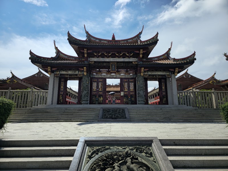
Macau
A-Ma Cultural Village: A Quiet Temple Above Coloane
This hillside temple complex combines religious significance, steep approaches and broad views over Macau’s southern landscape.
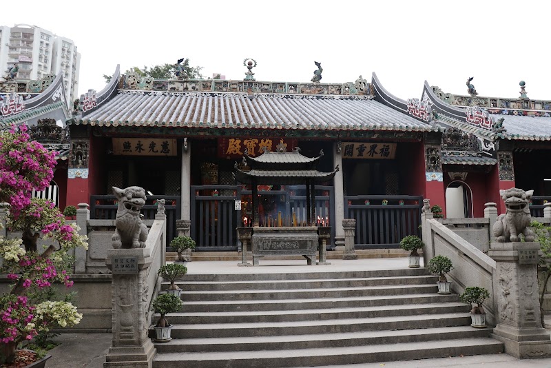
Macau
Templo de Kun Iam, a calm Macau temple with layers of history
Public reviews praise Templo de Kun Iam for its peaceful atmosphere, dense collection of statues and long-standing place in Macau’s religious history.
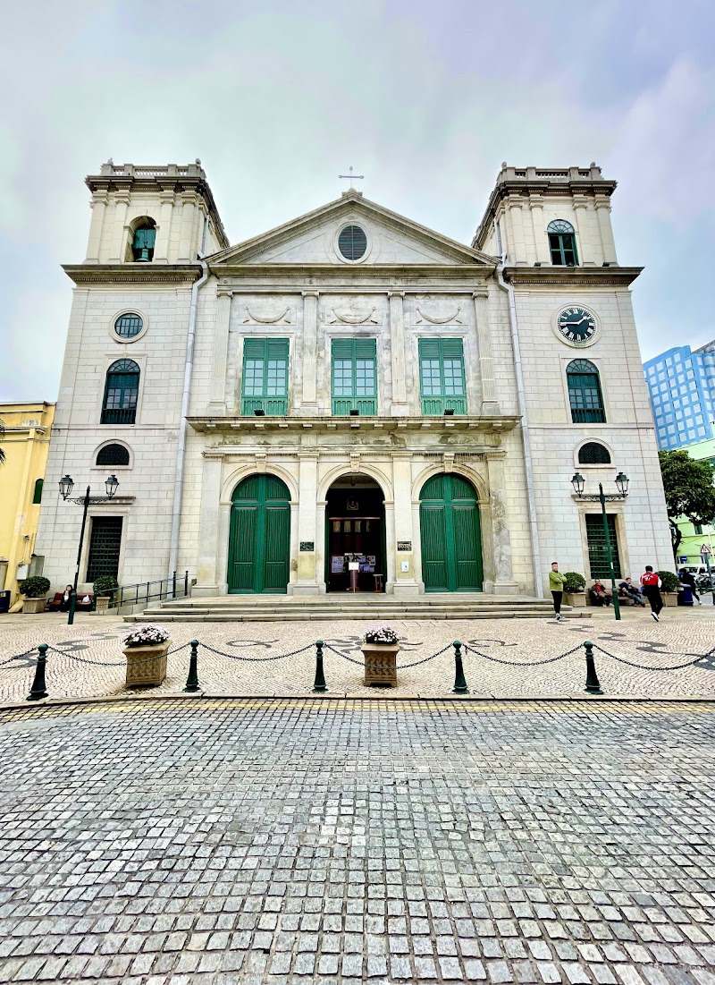
Macau
Cathedral of the Nativity of Our Lady, Macau
A peaceful cathedral near Senado Square, praised in public reviews for its ornate interior, historic character and calm atmosphere.